C&D Canal · Walk or bike
Michael N. Castle Trail
Wide-open canal views, a long multi-use path and a peaceful way to extend your Delaware City visit.
Along the canal
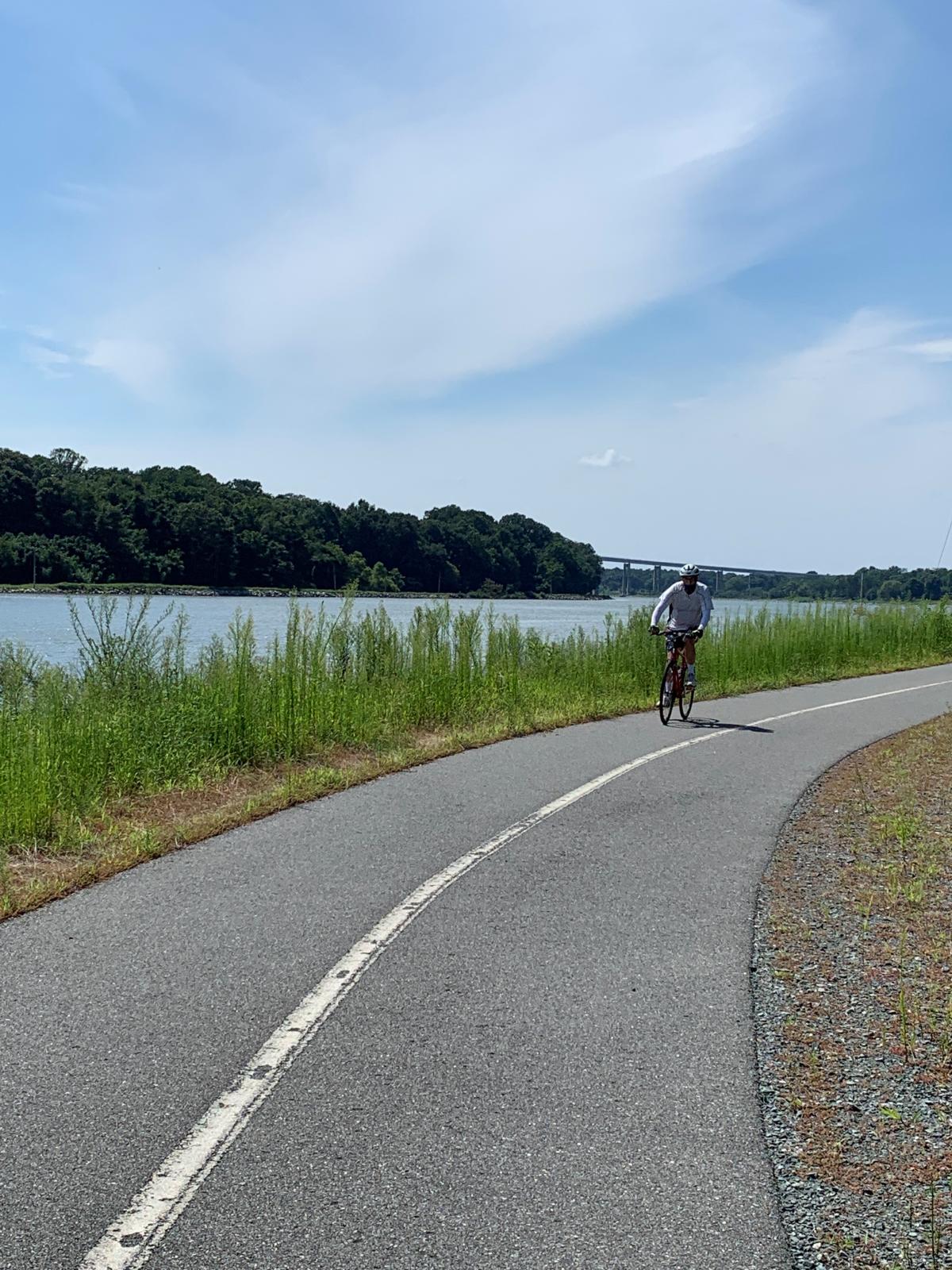
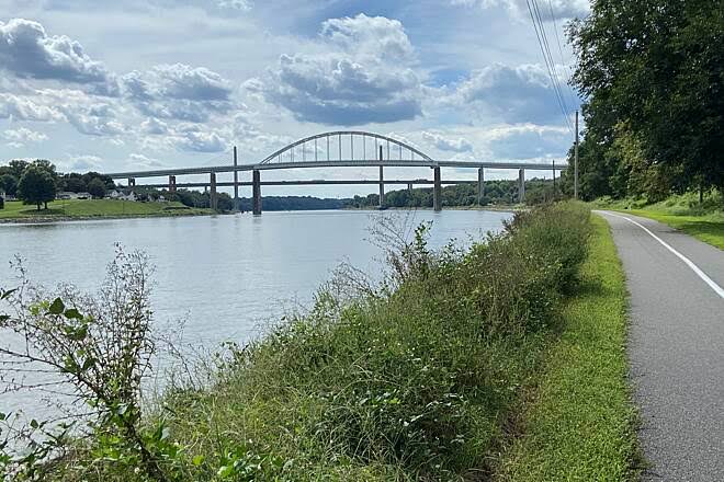
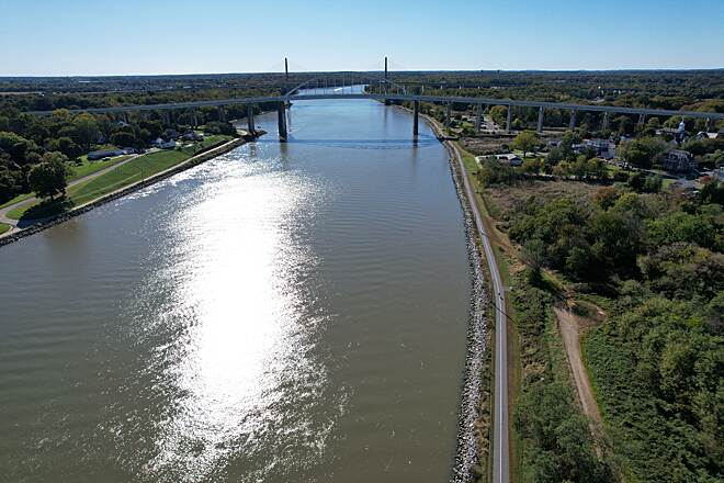
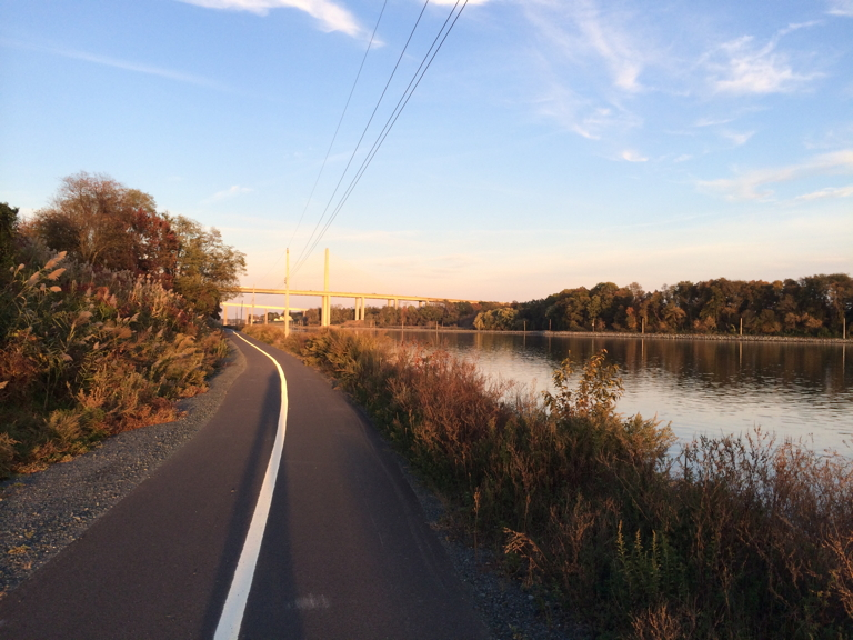
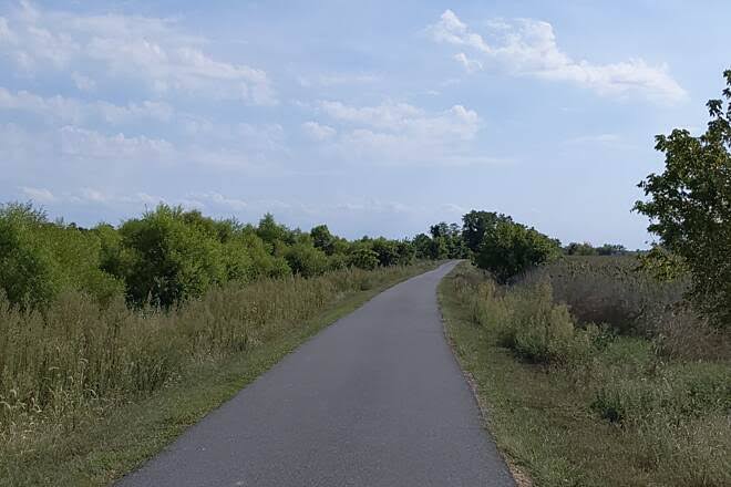
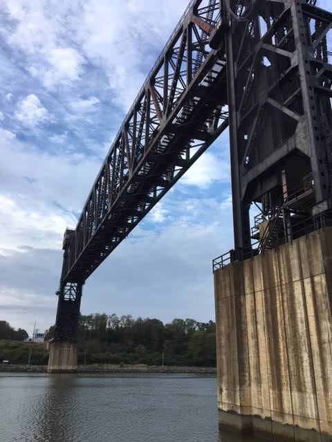
A 12.1-mile canal trail
DNREC’s official map labels the Castle Trail at 12.1 miles, extending between the St. Georges trailhead and the Delaware City/Fort DuPont area. Walk or bike a short out-and-back, or plan a longer ride along the Chesapeake and Delaware Canal.
Official DNREC trail mapWho uses the trail?
DNREC identifies the trail for pedestrians, bicyclists and equestrians. It is not a motor-vehicle route. Share the path courteously, carry water and dress for open, weather-exposed conditions.
Before you set out
Use the official map to choose an appropriate access point and parking area; it does not promise a direct trail connection from every downtown street. Sections can close temporarily for storm repairs, so check DNREC notices before you go. State wildlife-area parking may require a Conservation Access Pass—confirm requirements for the lot you plan to use.
A stop along the path
African Union Church Cemetery
In 1835 five trustees of the African Union Church bought a half acre of land for $80 to establish a church — now razed — and a cemetery. Through its active years the church and cemetery served the residents of Polktown, one of Delaware’s earliest free Black settlements.
Among the marked burials are five veterans of Delaware’s United States Colored Troops, identified by the government-issued headstones marking these graves. Headstones mark additional graves, but many remain unmarked, and the date of the last interment is unknown. After a period of disuse, the cemetery and its care became associated with the Mount Salem UAME Church.
The restored cemetery and its memorial plaza come at the end of roughly two decades of research and work by the Friends of the African Union Church Cemetery. The site sits along the Castle Trail in Delaware City, so it is an easy stop on foot or by bike.
This is a burial ground, not a playground: visit quietly, stay on the marked areas and follow any posted guidance.